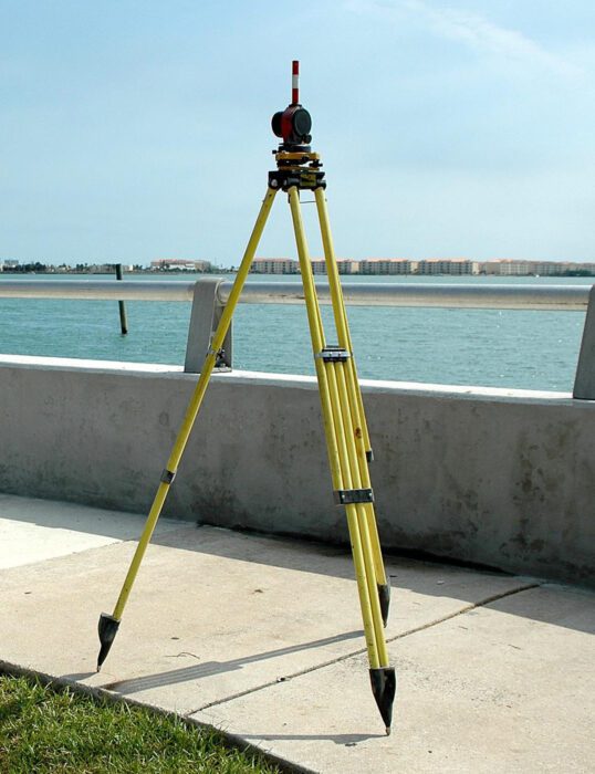
Geospatial survey tools are high tech instruments that can give you 3D information on a space which is translated into models. These models allow plans and visuals to be made of future buildings. In some companies you may have the opportunity to fly a drone, as they are being used to gather geospatial information more quickly and can provide clear images of sites from above.
Every time a map or a satellite navigation system is created, or a new road, mine, housing estate, or office tower is built, research is carried out on the space and land involved.


